
Appalachian Ski Mtn.
See the shape of your next ski day. Explore the terrain, feel out the pitch, and follow a run from top to bottom.

Loading terrain… Trail information and the official map are available below.
Tap a trail or lift · zoom in for more names
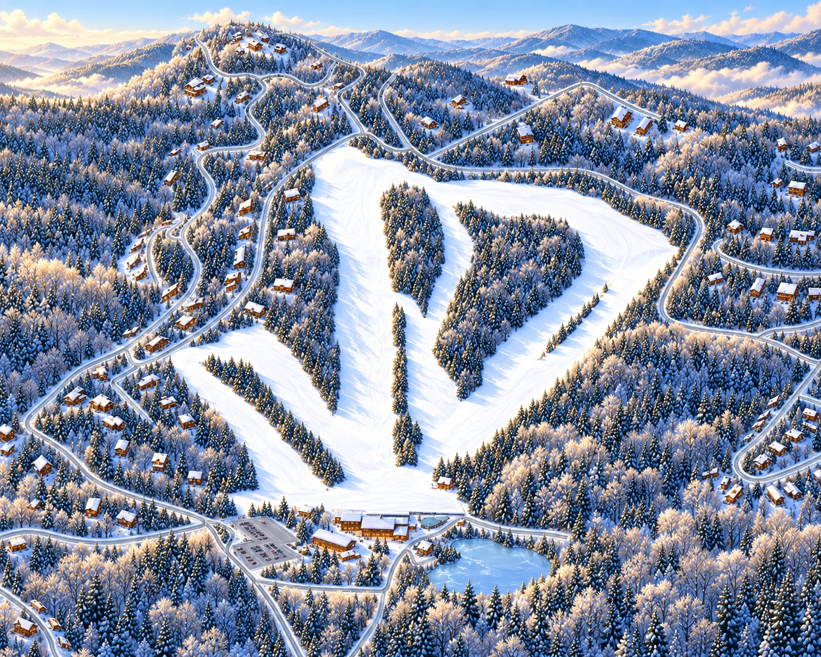
Illustrated winter terrain · approximate mapped trails
Explore the lifts 6 listed · 6 mapped
Approximate mapped alignments. A listing does not mean a lift is open. Official lift operations ↗
Find the steep part before you go.
Explore uses the resort’s green, blue and black difficulty classes. Double diamonds identify experts-only terrain; orange identifies separately classified freestyle terrain. Switch to Steepness to see estimated along-run pitch, from yellow through orange and red. The ribbon and profile use the same ground-elevation estimates.
These values describe the mapped ski line over a 15 m window. They are not official difficulty ratings, groomed-snow measurements or a definitive ranking of the mountain’s steepest runs. Park features are not modeled.
Real geography. Clear limits.
Lift letters and names follow the official illustrated map; the online slope report numbers the chairs differently. The Highline has a mapped area but no confirmed centerline, so its footprint is shown without a slope profile. Orange marks freestyle terrain, not an invented difficulty rating.
Profiles use NC OneMap · Watauga County 2025 QL1 DEM with 3.125-foot (about 1 m) grid spacing, bilinearly sampled along approximate OpenStreetMap routes. Pitch is elevation loss divided by horizontal path distance, converted to degrees, across a centered 15 m window. Endpoint windows are shorter; peaks use full windows. Disconnected routes use their longest section for the profile.
Ground data and route locations can be dated or offset. Fine grid spacing does not establish survey accuracy. Illustrated snow, vegetation and architecture are decorative; route widths and chair symbols are for visibility. This is a planning map, not navigation or current conditions. Source review: October 7, 2026.
Official trail identities & ratings ↗ · Official operating report ↗ · NC OneMap elevation ↗
© OpenStreetMap contributors · derived geographic database under ODbL 1.0. Download route data & methods · Base geography.
Explore the trail directory 13 trail entries · 12 mapped routes
13 trail entries
No matching trails. Clear your search or change the filters.
Coverage: 12 mapped trail routes and 6 mapped lifts. Lift letters and names follow the official illustrated map; the online slope report numbers the chairs differently. The Highline has a mapped area but no confirmed centerline, so its footprint is shown without a slope profile. Orange marks freestyle terrain, not an invented difficulty rating.