
Sugar Mountain.
See the shape of your next ski day. Explore the terrain, feel out the pitch, and follow a run from top to bottom.
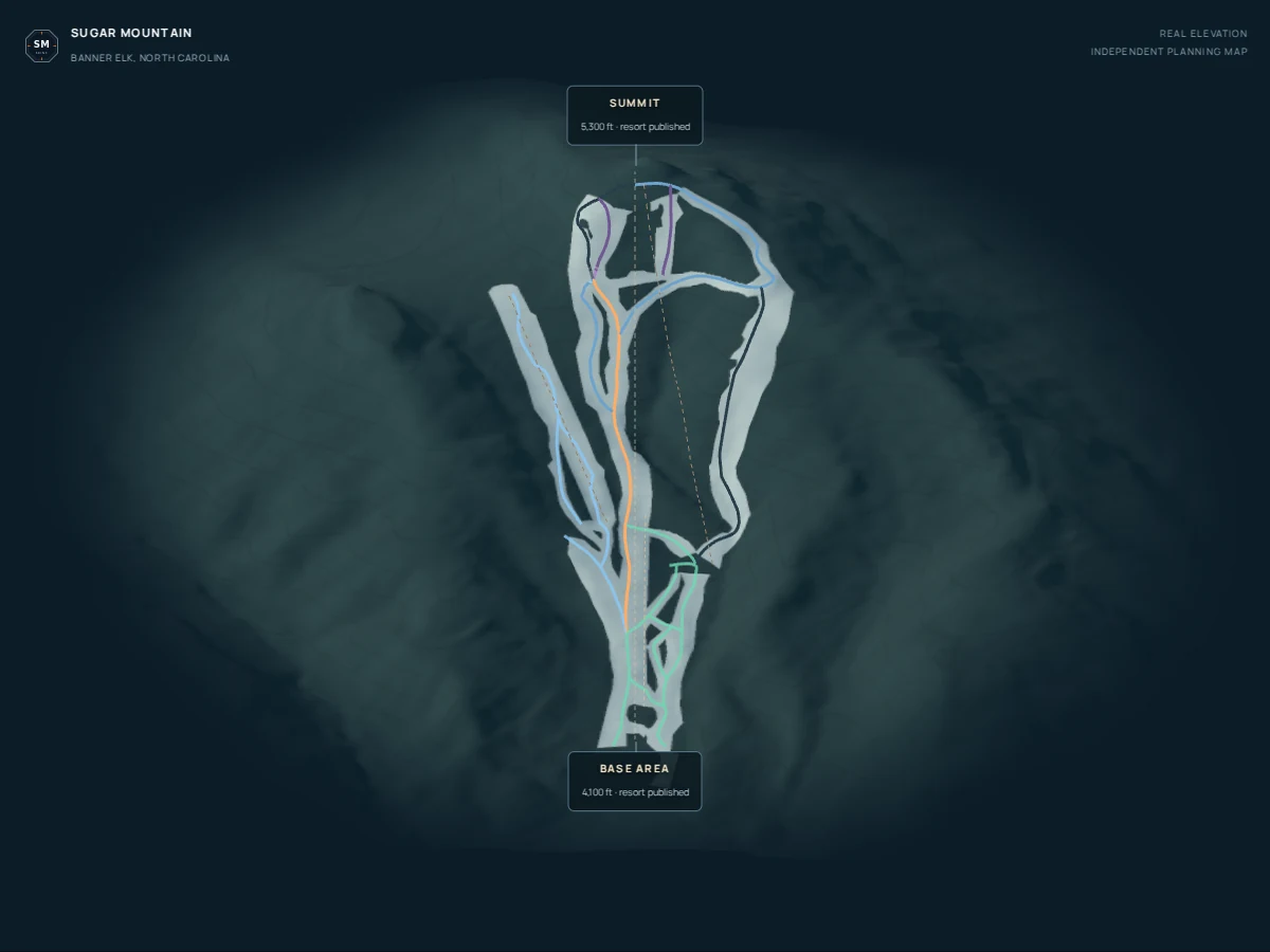

INDEPENDENT PLANNING MAP
Loading terrain… Trail information and the official map are available below.
Tap a trail · drag sideways to turn · summit stays uphill
Actual terrain · winter styling is illustrative, not current snow cover
Find the steep part before you go.
Steepness view colors the surrounding ground by estimated slope angle. Select a trail to see how its elevation changes, then move along the profile to explore its along-trail pitch.
These are different measurements: a trail crossing a hillside can descend more gently than the hillside itself. Use the resort’s official difficulty rating when choosing terrain.
Built for planning.
Terrain comes from USGS bare-earth elevation sampled about every 9 m, shown without vertical exaggeration. Trail alignments are approximate community data. Styled snow is illustrative.
*Pitch uses a roughly 30 m window, shortened at endpoints. Measurements are estimates, not surveyed snow-surface angles. No live openings are shown. Follow resort signs and closures.
Explore the trail directory 20 official trails · 17 with mapped alignments
20 trails in the directory
No matching trails. Clear your search or change the filters.
Coverage: Crossover, Laurel Lane and Ski School Yard are directory-only. Five lifts are mapped; Easy Street Express and Big Birch Lift are not drawn. Profiles use the longest continuous mapped section when geometry is disconnected. Names, difficulty, lighting and data reviewed October 5, 2026. Lighted does not mean open tonight. This is an independent planning visualization, not navigation.